wetter
1.0.0
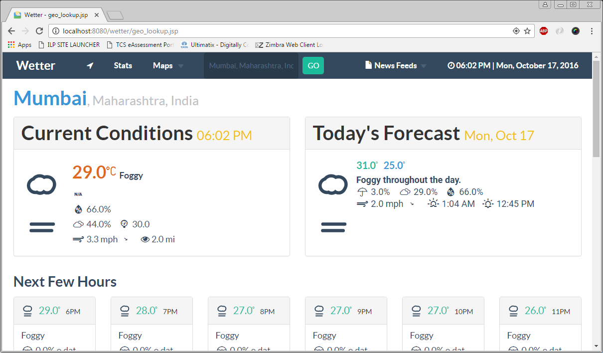
When we move to a new city whether for a short or long duration, one major concern on our mind is the weather condition of that place compared to our home city. Immediately available weather conditions on various websites and apps are not sufficient enough to have a good comparison between cities with respect to their climate.
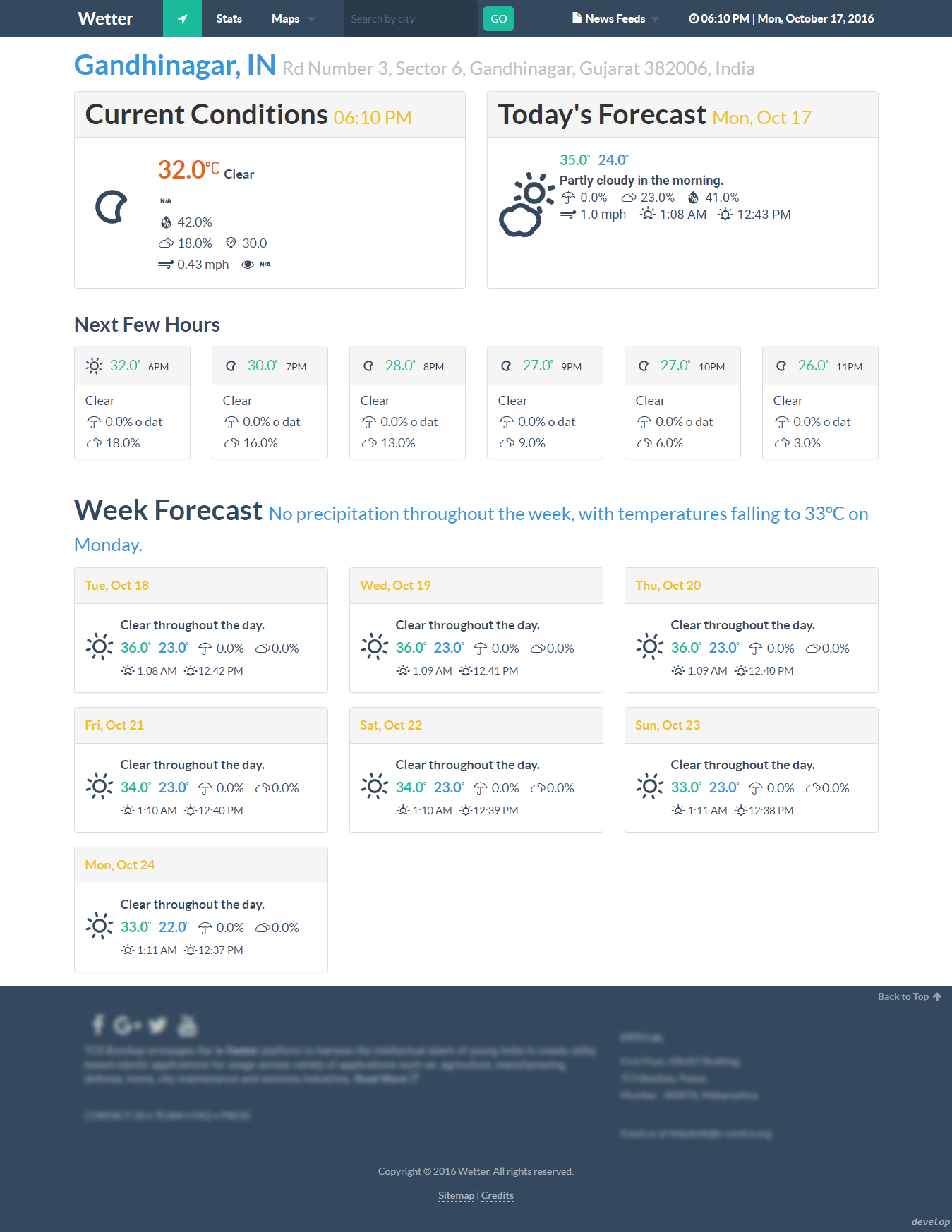
We intend to develop a web application which will provide information regarding the various environmental attributes of a particular city. We try to show this information in a graphical manner with which the user can interact.
wetterWebContentresourcesincludesapi.jsp file; lines 4,5,6.
String api_key_GoogleMapsJavaScript   = "INSERT_YOUR_KEY";
String api_key_OpenWeatherMap         = "INSERT_YOUR_KEY";
String api_key_DarkSky = "INSERT_YOUR_KEY";http.proxyHost && http.proxyPort in files:
wetterWebContentresourcesincludesapi.jsp; line 24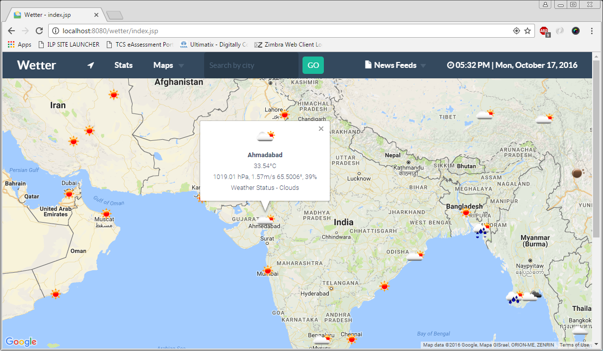


Java Libraries:
Other:
Flat-UI
Design Framework (html/css3/less/js). Flat UI is based on Bootstrap, a comfortable, responsive, and functional framework that simplifies the development of websites.
Font Awesome
The iconic font and CSS framework.
Font Awesome is a full suite of 634 pictographic icons for easy scalable vector graphics on websites, created and maintained by Dave Gandy. Stay up to date with the latest release and announcements on Twitter: @fontawesome.
Weather Icons
222 Weather Themed Icons and CSS.
Weather Icons is the only icon font and CSS with 222 weather themed icons, ready to be dropped right into Bootstrap, or any project that needs high quality weather, maritime, and meteorological based icons!
Skycons
Skycons is a set of ten animated weather glyphs, procedurally generated by JavaScript using the HTML5 canvas tag. They're easy to use, and pretty lightweight, so they shouldn't rain on your parade.
jQuery
A cross-platform JavaScript library designed to simplify the client-side scripting of HTML.
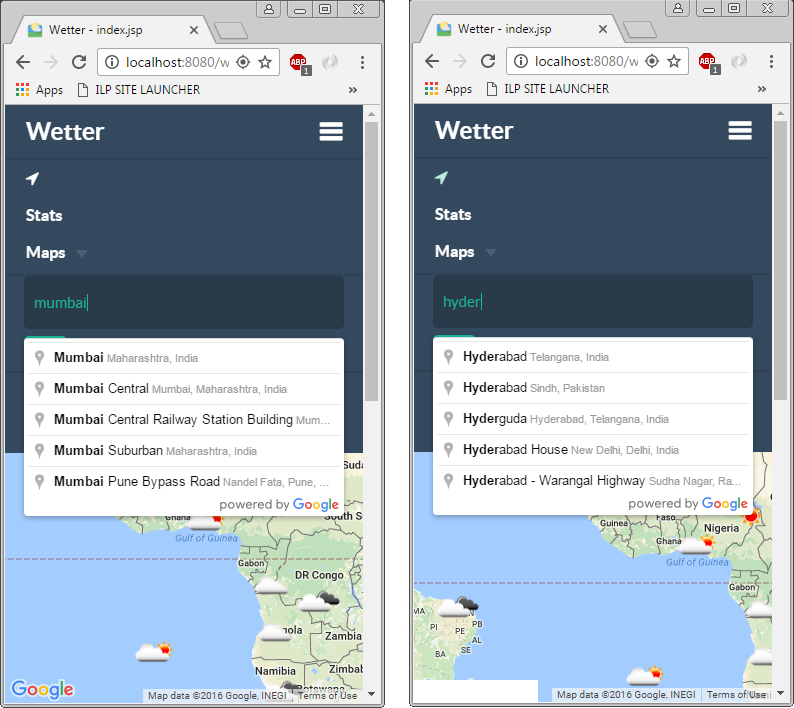
jQuery Geocoding and Places Autocomplete Plugin
An advanced jQuery plugin that wraps the Google Maps API's Geocoding and Places Autocomplete services. You simply provide an input that lets you search for locations with a nice autocomplete dropdown. Optionally add a container to show an interactive map and a form that will be populated with the address details.
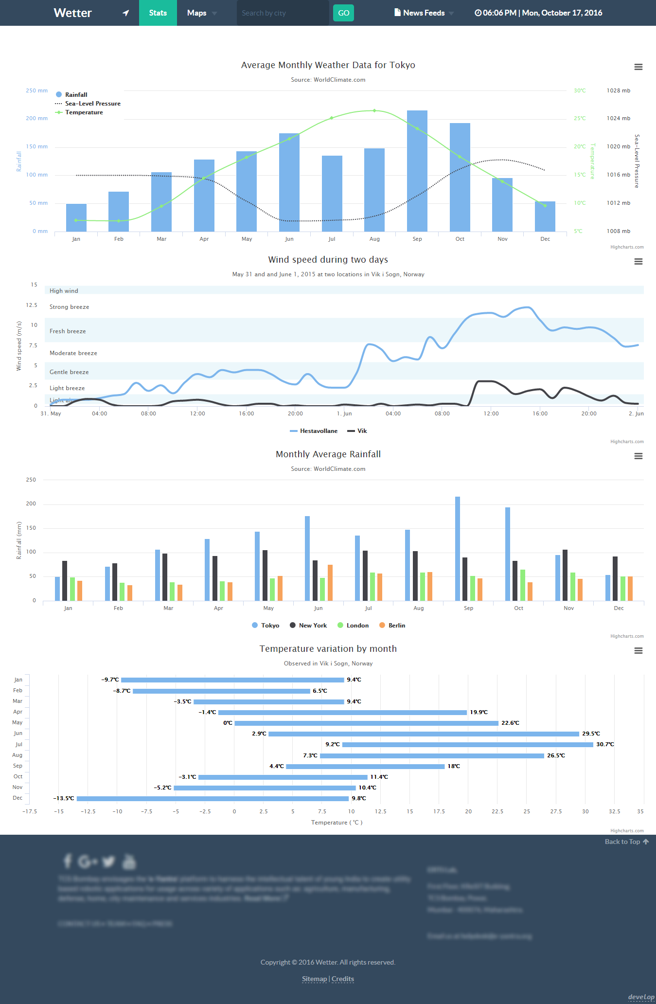
Highcharts
Highcharts JS is a JavaScript charting library based on SVG, with fallbacks to VML and canvas for old browsers.
Brand logo gnome-weather.png from "Paper Icons" by Sam Hewitt is licensed under CC-SA-4.0
NOTE:
map.jsp makes GET requests to API services on port 8099. Make sure it's not blocked, else you won't be seeing any results.

